There is a growing awareness that good land use and planning cando much to reduce the impact of natural catastrophes.
|Communities that understand the risks they face and mitigatethose risks become resilient and can experience sustainableoutcomes when affected by natural hazards.
|Around the world many communities are working hard to becomemore resilient, but 85 percent of people exposed to naturalcatastrophes live in developing countries where it can bechallenging to achieve good land use and planning. Continuedproperty development is inevitable, and the worth of the exposureat risk will rise. Only increased resilience can temper the impactof natural disasters.
|Related: 12 ways the U.S. is using nature to protect against naturaldisasters
|The root cause of a disaster that can occur after a naturalevent is the underlying vulnerability in human systems, not thenatural hazards that expose them. Many land-use choices can besignificant factors in their effect. Deforestation, for example,can increase the risk of landslides and flooding. The biggesteffects, however, arise from our desires to congregate in towns andcities.
|Click next to read about five types of land development that arevulnerable to natural disasters:
||A flash flood in Toowoomba, Queensland, Australia, in 2011.(Photo: Wikimedia Commons)
|1. Urbanization
It is thought that by 2050, two-thirds of the global populationwill be city dwellers.
|They take up just two percent of the planet’s surface, but as aWorld EconomicForum report noted, “The concentration of people, assets,critical infrastructure and economic activities in citiesexacerbates the potential of natural catastrophes to causeunprecedented damage.” Dense development enhances the impact ofmany perils because they can damage more property in an urbansetting than a rural one.
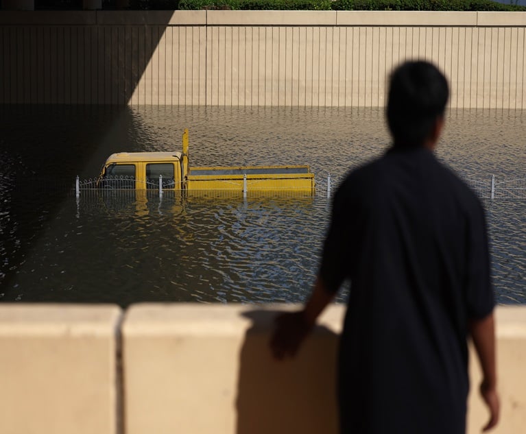
|Development increases risk in other ways too. In a naturalsetting for example, most rain will infiltrate the ground, but inan urbanized area, as much as 90 percent will run off. Roads andother impermeable surfaces reduce natural drainage and speed floodflows. According to the Federal Emergency Management Agency, this can make a10-year storm produce the runoff equivalent of a 25-year storm andcause flash floods.
|Related: How Hurricane Sandy created 'the perfectstorm'
||Boston’s Back Bay area is built on reclaimed salt marshesand contains many masonry structures vulnerable to liquefactiondamage in the event of an earthquake. (Photo: WikimediaCommons)
|2. Location, location, location
Many of our most successful settlements have been established incoastal areas and along rivers where fertile agricultural land,transportation, water and trade are available. Old developmentchoices constrain the resilience of such communities.
|Major cities around the rim of the Pacific Ocean, for example,are close to active fault lines and have significant earthquakerisk. Soft soils, which often accumulate along river banks, and inriver deltas — prime locations for development — can amplify groundmotion experienced during a temblor and may cause significantliquefaction damage.
|Related: U.S. taps supercomputer to help predict dangerousflooding
|Areas reclaimed for development can also be at risk fromliquefaction. In the United States, Boston’s Back Bay is a primeexample. Fortunately, infilled land compacts and slowly becomesless vulnerable.
||
Storm surge on Queensland's Gold Coast, with the high-risedevelopment of Surfers Paradise in the background. (Photo: BruceMiller/Commonwealth Scientific and Industrial ResearchOrganisation)
|3. Flocking to the coast
The density of the world’s near-coastal population is aboutthree times higher than the global average, and it isincreasing.
|Population growth leads to property development and propertyvalues increase over time. Within the United States, the insuredvalue of property in coastal states has historically doubled everydecade.
|Coastal communities generally occupy low-lying locations withdirect access to the sea, and this exposes them to damage from windand water, which is magnified by rising sea levels and landsubsidence. In the United States, sea level rise and severe weatherevents are thought likely to increase the portion of coastal areasat risk of flooding 55 percent this century, according to a reportcommissioned by FEMA.
|Related: 6.8 Million Homes at Risk for Hurricane StormSurge
||The Oderbruch floodplain along the Polish-German borderduring severe flooding that forced 13,500 people to evacuate inAugust of 1997. (Photo: Edgar Schoepal/AP Photo)
|4. Inland flood
Because land for construction is scarce, riverine floodplainsare another area where development is growing.
|Almost a fifth of the population of Hungary lives onfloodplains, for example, and in England, almost one sixth of allproperties are located on floodplains having at least a 1-in-1,000risk of floods.
|A recent report from the European Environment Agency claims that morethan 80 percent of Europe’s floodplains have been barricaded byflood defenses, drained and built on; it predicts a five-foldincrease in flood damage by 2050. Of this additional flooding aboutone fifth will be attributable to more intense rainfall, and theremainder to development on floodplains. Flood risk, however, isnot confined to floodplains; in the United States for example, 30percent of National Flood Insurance Program insured lossesoccur off floodplains.
||
Remains of the Super 8 hotel in Fort McMurray, Alberta,Canada on May 4, 2016. (Photo: Wikimedia Commons)
|5. Wildfire
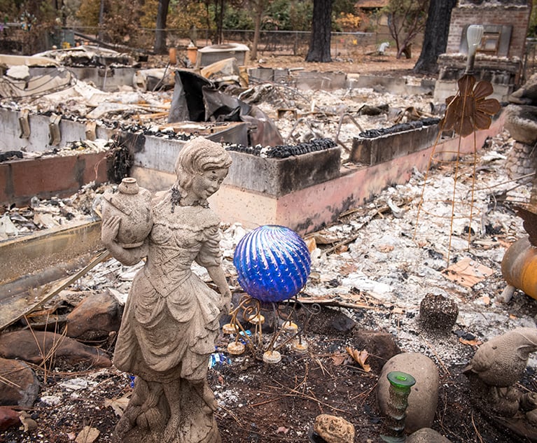
The number of homes in the wild land-urban interface — wherenatural vegetation meets urban expansion — is increasing, and insuch locations successful fire prevention and suppression effortscan be hard to achieve.
|Risk has been exacerbated by several factors, including,ironically, the practice of extinguishing wildfires as quickly aspossible, which can enable brush to grow and furnish additionalfuel.
|
Insured losses from California wildfires, 1964-2008.(Source: AIR Worldwide)
|The data suggest an upward trend in U.S. wildfire losses overthe last two decades, despite the fact that the frequency ofwildfires has been relatively steady, indicating that the increaseis driven primarily by the growing value of exposed properties.
|Jonathan Kinghorn is a senior science writer at Boston-basedcatastrophe modeling firm AIR Worldwide.
|Read more: Alberta wildfires costliest insured disaster everin Canada
Want to continue reading?
Become a Free PropertyCasualty360 Digital Reader
Your access to unlimited PropertyCasualty360 content isn’t changing.
Once you are an ALM digital member, you’ll receive:
- All PropertyCasualty360.com news coverage, best practices, and in-depth analysis.
- Educational webcasts, resources from industry leaders, and informative newsletters.
- Other award-winning websites including BenefitsPRO.com and ThinkAdvisor.com.
Already have an account? Sign In
© 2024 ALM Global, LLC, All Rights Reserved. Request academic re-use from www.copyright.com. All other uses, submit a request to [email protected]. For more information visit Asset & Logo Licensing.


