(Bloomberg) -- Think of it as Mother Nature’s roller-coaster ride: the shift between the weather patterns known as El Niño and La Niña that, at their worst, can cause havoc worldwide.
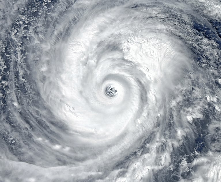
El Niño — spurred on by a warming of the equatorial Pacific — has dried up rice crops across Southeast Asia, cocoa fields in Ghana, coffee in Indonesia and sugar cane in Thailand since last year. It contributed to the Western Hemisphere’s strongest hurricane on record and the planet’s warmest year since at least the 1880s.
Now the ocean’s surface is starting to cool, which may signal the start of a La Niña. Scientists say this pattern typically contributes to more hurricanes in the Atlantic, drought in Brazil and heavy rain in Indonesia and India. While it might give a boost to U.S. natural gas, it could hurt Australian coal operations and palm-oil output in Malaysia. For some areas, it may be worse than a typical El Niño.
“ El Niño extremes are greater, while La Niña lasts longer,” said Kevin Trenberth, distinguished senior scientist at the National Center for Atmospheric Research in Boulder, Colorado.
Want to continue reading?
Become a Free PropertyCasualty360 Digital Reader
Your access to unlimited PropertyCasualty360 content isn’t changing.
Once you are an ALM digital member, you’ll receive:
- All PropertyCasualty360.com news coverage, best practices, and in-depth analysis.
- Educational webcasts, resources from industry leaders, and informative newsletters.
- Other award-winning websites including BenefitsPRO.com and ThinkAdvisor.com.
Already have an account? Sign In
© 2024 ALM Global, LLC, All Rights Reserved. Request academic re-use from www.copyright.com. All other uses, submit a request to [email protected]. For more information visit Asset & Logo Licensing.


