Consumers have a love/hate relationship with sharing theirlocation more precisely, sharing their geolocation.
|With services such as Facebook and Twitter, location sharing is"almost" a default option, whereas sites such as PleaseRobMe.com warnabout the dangers of over-sharing our location information.
|Putting consumer interest in the sliding scale of "sharing toomuch" aside, for insurers, the relevance and importance of consumergeolocation data is undeniable.
|The proliferation of smartphones and GPS-enabled devices hasdriven down the cost of reliable geolocation data. Multipleindustries have used geolocation data for a while now for purposessuch as online advertising, content rights management, fraud,security analytics, content localization, mobile targeting,etc.
|However, insurers are coming to understand the value ofgeolocation data, and if you look hard enough, you can find anarray of nascent, but potentially very powerful, uses:
- |
- Usage-based insurance and telematics. This lets insurers buildpricing models based on driving records.
- Distance-based vehicle insurance. This allows insurers to pricepolicies according to how much and where their customersdrive.
- Natural disasters. There are countless studies about claims anddisaster responses, how geographical information system (GIS) datareflects past and real-time risks, such as wind, hurricane, forestfires, earthquakes, hail, etc.
Related: Imagining UBI's frictionlessfuture
|Simplifying geolocation data into an example, carriers lookingto offer car insurance in Williamsburg, N.Y., may rely on ZIP codeinformation for guidance as to what their customers might find ontheir daily commute. However, ZIP code 11211 is a big area, andusing the entire ZIP code might actually limit what insurers canknow about an area.
|Certain industrial areas of Williamsburg have a massivechallenge with cleaning up oil spills, which can have an obviousaffect on safe driving. Knowing where these hotspots are will allowa carrier to price more accurately for the risks theyassume.
|According to William Raichle of Insurance Services Office Inc.,there hundreds of millions of dollars are at stake.
|Continue reading …
|
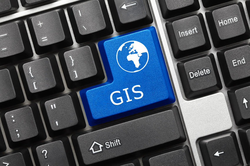
Geographical information systems can generate a lot of data.The challenge is being able to process it so that the costs don'toutweight the benefits. (Photo: iStock)
|Using GIS data
These issues manifest in two ways.
|First, when an underwriter is evaluating a case, they need good,dependable GIS information but that's not always easy to come by.Insurance is one of the few industries that relies heavily onregional or geographical boundaries.
|Underwriters need to rely on being able to do risk calculationsbased on specific geographic areas their pricing, risk and revenuedepend on it. Underwriting a property that is a block away from thebeach vs. five blocks away? Of course the premium is going to bedifferent. Drive more than three miles to work each day? Of courseinsurance risk profile is going to be different.
|An underwriter is most certainly going to verify PublicProtection Classification code territorial assignments, taxdistrict, coverage zone, etc. They could choose to either use mapsto point and click or they could quite use their automatedrisk/loss-modeling software to obtain this data on demand, in realtime.
|To be most effective, underwriters should use multiple datasources in addition to a comprehensive GIS database these includerisk/hazard databases, natural disaster databases, crime databases,and others.
|Second, once a policy has been underwritten, property has beeninsured and it is business as usual. However, this is the timewhere geolocation data actually has to be monitored. That means theinsurer needs to have scalable platforms in place to take in suchgeolocation information, store that volume of data in real time,run calculations/algorithms on the real-time data, run predictiveanalytics on the past geolocation data that has been enriched byrisk/loss modelers, etc.
|Again, getting geolocation data may be relatively easy, but thechallenge lies in actually processing the volume of data GIS cangenerate. Executed poorly, the costs associated with storing andprocessing that data can outweighs the benefits.
|Picking software that meets these needs can be a challenge.Insurers should identify an approach that addresses the followingquestions:
- |
- Do you need to store a large amount of GIS data?
- Do you need compare/contrast capabilities?
- Do you need most often queried data in memory, and can the rest sit on diskwaiting to be retrieved?
- Do you need spatial functions? Do you need to support allWKT Geometries?
- Do you need true geodetic support? Spatial indices?
- Do you need to stream location updates from millions of devices24/7?
- Can you afford to lose location updates or do you have to storeeach and every location update from every single device?
- Do you need to run real time analytics on your locationupdates?
- Do you need to run geotargeting on your location updates?
- Do you need have actionable intelligence associated with yourlocation updates whether these updates are targeted for the mobiledevices, third-party platforms/systems or both?
- Do you have or need context awareness with this data? Do youneed to calculate context awareness based on the locationupdates?
- Will there be even more requirements that your particular usecase demands?
Carriers must make sure to complete due diligence on each one ofthese topics before they can take the plunge. Those that addressthese questions thoroughly will ultimately end up with successful,and profitable, GIS initiatives.
|Ronnie Guha is the founder and CEO of New York City-basedNisosTechnologies.
|Related: A look at emerging risks the insurance industry isfacing
|Learn more about how technology is impacting the claims processat America's Claims Event (ACE).From the Internet of Things to customer service to fraud andlitigation, this two-day networking and educationalconference is designed for claims professionals. Register to attend and save$350.
Want to continue reading?
Become a Free PropertyCasualty360 Digital Reader
Your access to unlimited PropertyCasualty360 content isn’t changing.
Once you are an ALM digital member, you’ll receive:
- All PropertyCasualty360.com news coverage, best practices, and in-depth analysis.
- Educational webcasts, resources from industry leaders, and informative newsletters.
- Other award-winning websites including BenefitsPRO.com and ThinkAdvisor.com.
Already have an account? Sign In
© 2024 ALM Global, LLC, All Rights Reserved. Request academic re-use from www.copyright.com. All other uses, submit a request to [email protected]. For more information visit Asset & Logo Licensing.


