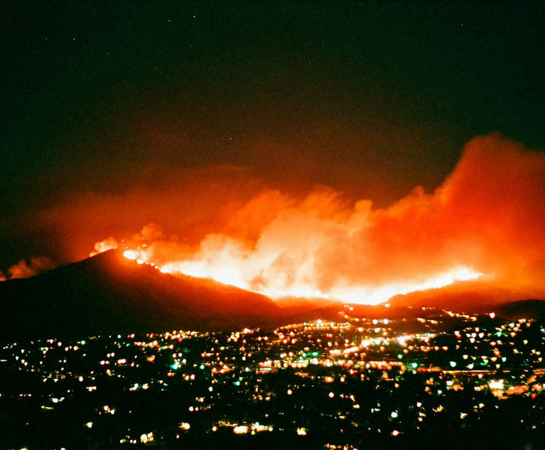
On April 24, a 7.8 earthquake, the most devastating in 80 years,struck Nepal, killing thousands and reducing its capital city,Kathmandu, to rubble. Roads have been damaged or covered bylandslides making rescue efforts more difficult in one of Asia’smost impoverished and rural countries. In this situation, aerialdrones, could be used to provide relief workers with a betterunderstanding of the situation, help locate survivors in therubble, perform structural analysis of damaged infrastructure,deliver needed supplies and equipment, evacuate casualties, andhelp extinguish fires. These are just a few of the potentialpeaceful applications for which drones can be used as outlined in areport released April 27.
|Zurich North America showcased findings of the study detailinghow drones can help first responders and improve relief effortsfollowing a disaster. Zurich—a co-sponsor of the study—discussedthe details at a news conference on April 27 in New Orleans to kickoff the annual Risk Insurance Management Society’s (RIMS) annualconference & exhibition, which brings together thousands ofinsurance industry professionals, most of whom are based in NorthAmerica.
|Published by a coalition including the American Red Cross,insurance carriers and other private sector companies as well asfederal agencies, coordinated by Measure, a 32 Advisors Company,the report—Dronesfor Disaster Response and Relief Operations—discusses the waysdrones and the aerial data they collect can be used before, duringand after a disaster. The report includes an overview of potentialsolutions and deployment models as well as recommendations onremoving regulatory barriers.
|[Related: Here'show drones are going to transform the insuranceindustry]
|In addition to relieving disaster responders from some of theirmost dangerous duties, the report notes that drones can perform the“3D” tasks—those that are dirty, dull and dangerous—allowingresponders to focus on more important things.
|Here are nine proposed uses of drones for humanitarian, safetyand economic reasons. Please let us know any other uses that youare aware of in the comment section.
|
(Photo: Shutterstock/Sergei Drozd)
|1. Reconnaissance and mapping
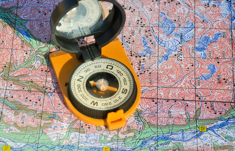
|Before disasters strike, drones can be used for risk managementand prevention of potential losses, for example, by mapping certainterrain. Flood maps can coordinate disaster response efforts aftermajor flooding as occurred with the storm surge from SuperstormSandy. Topographical mapping in 3D can help identify areas prone tomudslides. British researchers in Malaysia have used drones to mappatterns of deforestation that have been correlated with increasedincidences of malaria.
|
(Photo: Shutterstock/Pieter Beens)
|2. Structural integrity assessment
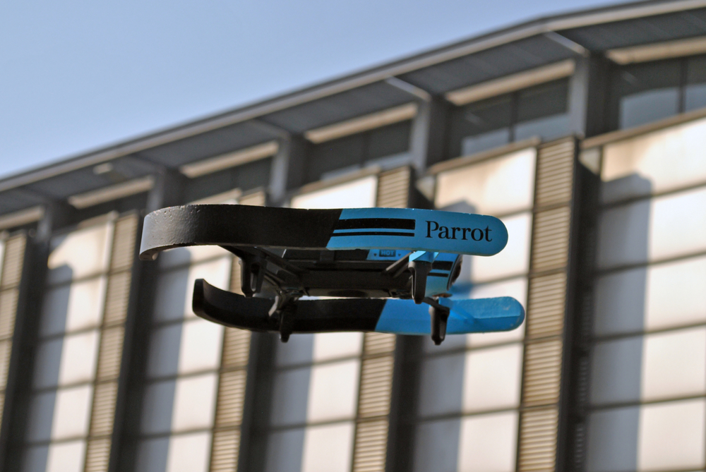
|The report points out that drones function well in environmentsthat are unsafe for humans. For example, the unmanned groundvehicles used after 9/11 moved through extremely small spaces inunstable rubble piles to reach victims. The Japanese Atomic EnergyAgency is currently testing drones that measure radiation beingemitted from a nuclear power plant because the drones can fly muchlower than manned aircraft, eliminating the possibility of pilotirradiation. In the case of an earthquake like the one in Nepal,drones can assess damage to buildings and structures that have beendamaged and are unsafe for relief workers, engineers and claimsadjusters.
|Drones can be used during manmade disasters as well, accordingto the report. Explosions and arson also cause damage to thestructural integrity of buildings and infrastructure and unsafeconditions for first responders and investigators.
|
(Photo: Shutterstock/Slavoljub Pantelic)
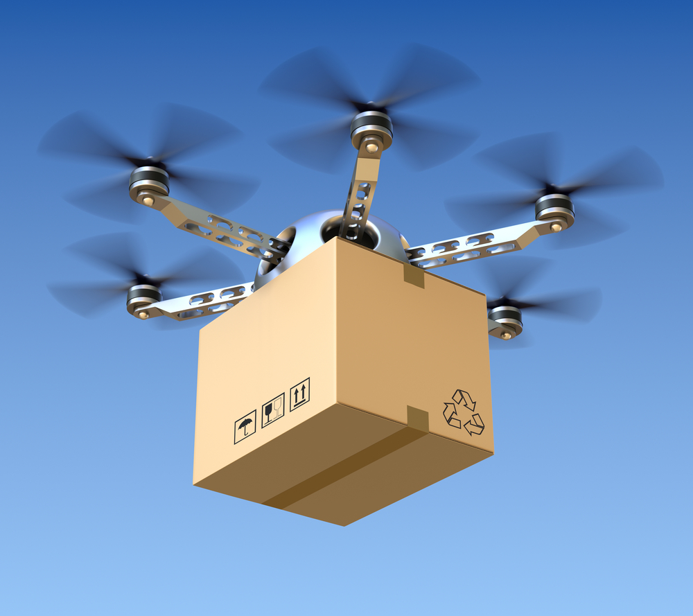
|3. Temporary infrastructure and supplydelivery
|Severe weather events, earthquakes, sabotage and other manmadedisasters can destroy critical infrastructure such as water lines,roadways, bridges, oil and gas pipelines, power plants andtransmission lines. In addition to assessing infrastructure damage,drones also can deliver needed supplies to make infrastructurerepairs or temporarily bypass damaged infrastructure by deliveringsupplies like food and water directly.
|Drones also can act as temporary telecommunications platforms,sending Wi-Fi and cell phone coverage across an area with downedpower lines and damaged cell towers.
|
(Photo: Shutterstock/Dmytro Gilitukha)
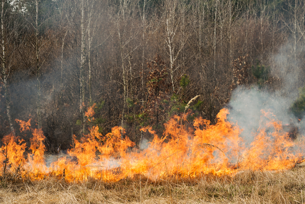
|4. Detecting and extinguishing wildfires
|The current methods of detecting and fighting wildfires relyheavily on human efforts, causing 34 firefighter deaths and 29,760injuries in 2013 alone, according to statistics from the U.S. FireAdministration. Drones could help reduce the frequency andproximity of contact that firefighters need to make with wildfires.The drones also would be able to fly lower than manned aircraft andin reduced visibility, delivering fire retardant more efficiently,with less risk to pilots. The drones also could be used to map themost likely places to place backfires and ways to evacuate peoplefrom high-risk areas.
|
(Photo: Shutterstock/1000 Words)
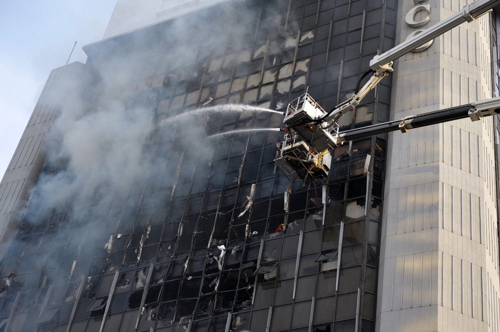
|5. High-rise building fire response
|As most people who live and work in large cities recognize,high-rise towers present unique challenges to firefighters. Manyfloors are too high for ground-based firefighting equipment—hookand ladder trucks, for example—to reach. In some cases, occupantsmay be trapped on floors above the fire, which preventsfirefighters from rescuing survivors and spraying retardant orwater on the flames directly.
|Drones equipped with cameras can give firefighters real-timevisual data from the fire and use sensors to visualize temperaturereadouts coming from the fire, giving firefighters informationabout where the fire is burning most intensely. Perhaps mostsignificantly, micro drones can fly through a building’s interior,passing through floors to search for victims, assess structuraldamage and map fire strength.
|Large drones with heavy lifting power can spray fire retardantdirectly into higher floors, deliver firefighters to floors abovethe fire, rescue trapped survivors and provide real-time videofeeds.
|
(Photo: Shutterstock/Melkor3D)
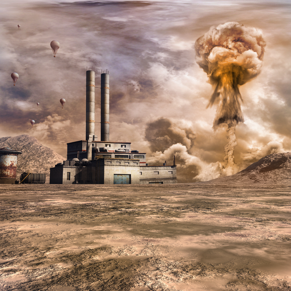
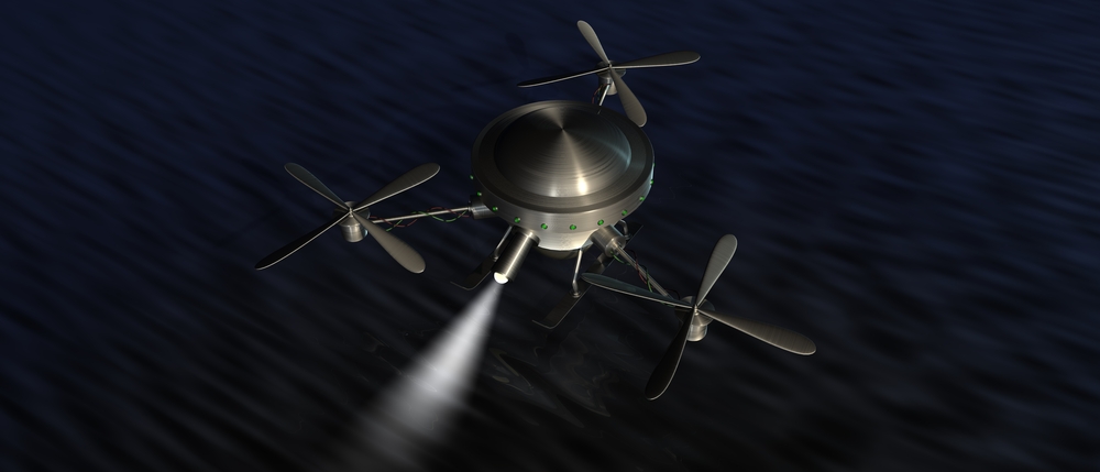
|6. Dealing with chemical, biological, radiological,nuclear or explosive (CBRNE) events
|One of the realities of life in the 21st century is that heavyindustry and power generation rely on hazardous chemicals andfuels, including fissile material to create nuclear power.Malfunctions in factories or power plants, accidents whiletransporting hazardous materials, terrorism and criminal sabotageare a few of the incidents that might cause unexpected chemical,biological or nuclear disasters.
|Using drones in these situations, the report says, significantlyreduces human exposure to unsafe environments while providingcontinuous monitoring and data validation. Drones can be deployedfrom almost any surface or location, so responders don’t have torely solely on airfields, which might be heavily damaged orunusable. After the 2011 Fukushima Daiichi nuclear power planmeltdown in Japan, survey teams used a drone to track the radiationplume and inspect the structural integrity of the plant.
|
(Photo: Shutterstock/Emiel de Lange)
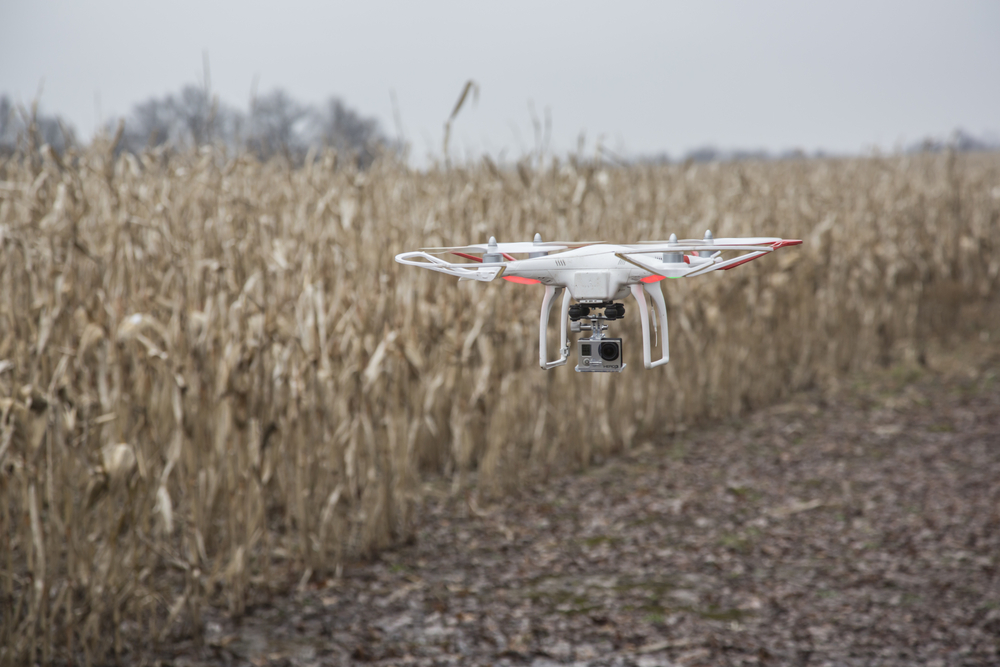
|7. Search and rescue operations
|Searching for people or wreckage—of the downed Germanwingsairliner in the mountains, for instance—is time consuming anddifficult. It can lead to crew fatigue, decreasing theireffectiveness and increasing the likelihood that something could bemissed. When survivors are located, rescue and evacuationoperations take place in hazardous environments, similar to therescue of many mountain climbers from Mount Everest after the Nepalearthquake.
|The report notes that, in 2014, an amateur drone operator usedaerial imagery from his octocopter to find an 82-year-old man alivein a 200-acre bean field. The man had gone missing several daysbefore, and three days of searching with dogs, hundreds ofvolunteers and a helicopter had not been able to find him.
|
(Photo: Shutterstock/Emiel de Lange)
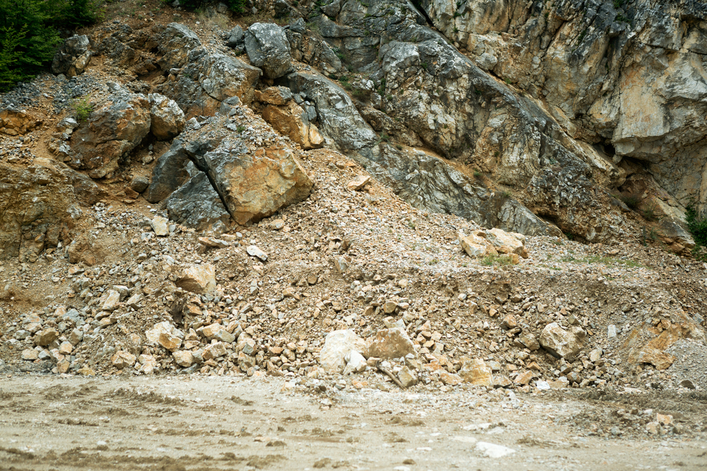
|8. Insurance claims response and riskassessment
|Much has been written about the potential use of drones byinsurance companies. They could use drones to fly over an affectedarea after a disaster, assessing damage to insured property,developing situational awareness for deploying additional claimsadjusters on the ground, and supporting the claims responseprocess. Drones provide more options to review properties thatotherwise would be inaccessible due to safety concerns.
|Insurance companies, working with risk managers in allindustries, can help with pre-disaster planning. Drone-basedhigh-resolution maps of communities with insured properties wouldhelp identify at-risk areas—for example, properties located inflood-prone areas, According to the report, the information wouldhelp create the best disaster response protocols and pre-emergencyplans.
|
(Photo: Shutterstock/Lucky Business)
|9. Logistics support
|As the report points out, blocked roads, damaged rail, anddestroyed ports and airports can have a severe impact on rescueefforts by delaying delivery of supplies and equipment. After ahurricane, for example, people would find it difficult to travel tobuy food or supplies because streets might still be flooded, powerlines and trees could be down, and roads might be closed. Assumingaccess to the Internet or telephones, people could place an orderfor groceries with a store, which companies like UPS could delivervia drone. Drones also could deliver tools, building materials,survival gear and any other materials needed, promptly andsafely.
|
(Photo: Shutterstock/Adam Ziaja)
|More examples?
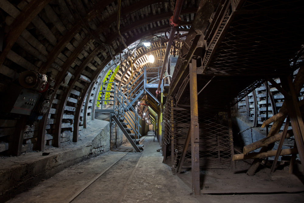
|I can think of one other example in which a drone could be usedfor disaster planning. Coal mining is a notoriously dangerousprofession, and miners are at high risk from collapse of the mineshafts or explosions from methane gas build-up. Drones with highresolution cameras could inspect the shafts before miners go intothem to ensure that walls are shored up correctly. Instead ofsending canaries into the coal mines as was done in VictorianEngland, drones with sensors could be used to determine whethermethane gas is escaping, allowing the mining company to remediatethe mine shaft before miners are at risk.
|What other uses can you think of or do you know of? Pleasetell us in the comment section.
Want to continue reading?
Become a Free PropertyCasualty360 Digital Reader
Your access to unlimited PropertyCasualty360 content isn’t changing.
Once you are an ALM digital member, you’ll receive:
- All PropertyCasualty360.com news coverage, best practices, and in-depth analysis.
- Educational webcasts, resources from industry leaders, and informative newsletters.
- Other award-winning websites including BenefitsPRO.com and ThinkAdvisor.com.
Already have an account? Sign In
© 2024 ALM Global, LLC, All Rights Reserved. Request academic re-use from www.copyright.com. All other uses, submit a request to [email protected]. For more information visit Asset & Logo Licensing.


