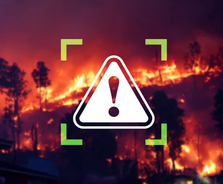
 Broader data elements, fine-scale geospatial data, advanced analytics, and satellite imagery give insurers a better understanding of wildfire risk for individual homeowners and business owners, especially in hard markets. (Credit: metamorworks/Adobe Stock)
The wildfires that swept through the Texas Panhandle have reignited concerns about the increasing frequency and severity of wildfires across the United States. The Smokehouse Creek Fire, the largest wildfire in Texas history, serves as a poignant reminder of the urgent need for proactive measures to address the risk of wildfires.
Want to continue reading?
Become a Free PropertyCasualty360 Digital Reader
Your access to unlimited PropertyCasualty360 content isn’t changing.
Once you are an ALM digital member, you’ll receive:
- All PropertyCasualty360.com news coverage, best practices, and in-depth analysis.
- Educational webcasts, resources from industry leaders, and informative newsletters.
- Other award-winning websites including BenefitsPRO.com and ThinkAdvisor.com.
Already have an account? Sign In
© 2024 ALM Global, LLC, All Rights Reserved. Request academic re-use from www.copyright.com. All other uses, submit a request to [email protected]. For more information visit Asset & Logo Licensing.