In the wake of the Hurricane Sandy, EagleView Technologies andPictometry International Corp. each played a significant role inassisting insurance professionals with claims processing.Pictometry's planes were in the air within days after the storm andcaptured more than 160,000 images of the aftermath, while EagleViewprovided tens of thousands of roof and wall reports to claimsprofessionals. Having merged in January, EagleView and Pictometrycan now bring a complete set of business solutions to claimsprofessionals to help them prepare and respond when the next eventoccurs.
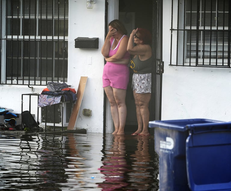
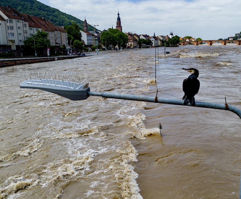
|Last year, Superstorm Sandy caused an unprecedented amount ofdamage in one of the nation's most highly populated regions. Theeffects were felt down miles of coastline across several states. Asif a hurricane wasn't enough, a fierce Nor'easter was rapidlyapproaching the same area. It was clear that an unusually highnumber of claims were going to need to be processed. To be able totackle such a task, major insurance carriers and independentadjusting firms turned to aerial-image based technologies providedby EagleView and Pictometry. The industry's highest quality aerialimages captured by a portion of Pictometry's 73 aircraft fleethelped these companies assess the storm's widespreadimpact.
|The 3D modeling and measurements of the properties' roofs andwalls provided by EagleView assisted in analyzing the storm'seffects on homes and buildings. The precise measurements of thedamaged structures enabled more claims to be processed in a day;accurate estimates to be developed; and the claim to be closedwithout the need for supplementals.
|Understand the Impact
|This new combination of measurement solutions, high-qualityaerial imagery and property data allows claims professionals tohave a comprehensive understanding of a claim from before the eventoccurs to after the claim has been closed.
|EagleView and Pictometry's solutions provide claimsprofessionals with a rich understanding of their insureds and thoseproperties, which builds a solid foundation for planning andpreparedness. Pictometry's patented method for capturing aerialproperty images includes taking photos at an oblique angle thatshow the north, south, east, and west views of each property. Thisallows claims professionals to get a clear idea of the aspects of abuilding just from looking at the imagery. Inaddition, policies in force data can be overlaid on the imagery togive adjusters a visualization of where their customers arelocated. This provides insight on how each customer may or may notbe affected by different storm situations.
|Make Informed Decisions
|Once a claim-inducing event occurs, accurate pre- and post-eventimagery can help determine the magnitude of property damage. Beingable to visualize damage from a wider viewpoint allows carriers tograsp which neighborhoods were impacted the most. When Sandy hitNew Jersey, the scope of devastation was immediately evident fromthe images. Streets were wiped off the landscape by mounds of sandwashed ashore, power lines were clearly damaged, wholeneighborhoods were completely destroyed and homes that managed tostay in one piece drifted blocks away. The ability to overlay dataonto images of the destruction gave insurance professionals a clearpicture of exactly which streets, parcels, power lines and otherassets were damaged. A wider viewpoint also enabled adjusters todetermine whether the damage was caused by wind, water, hail orsomething else. This allowed them to calculate and validate theimpact on loss reserves.
|Close Claims Quickly and Accurately
|EagleView's 3D aerial measurement reports are created fromimages that were taken before there was any damage. By usingEagleView's remote exterior measurements rather than attempting anin-person evaluation, the claims process is expedited and adjustersare kept out of harm's way. The guaranteed accurate measurementsare relied on by the largest insurance carriers to prepareestimates for repair or rebuilding. In cases where accessto remote or damaged areas isn't possible, EagleView is able toprovide the detailed information needed to allow carriers to closeclaims quickly and enable property owners to go about the businessof rebuilding their lives.
|When carriers have a better background on the situation, theycan properly allocate their resources and may even be able to haveclaims desk adjusted. This eliminates travel time, which means moreclaims can be processed each day. All parties involved in the claimcan easily agree on the industry's most accurate roof and wallmeasurements. With the virtual elimination of disputes andsupplemental claims, the claim cycle becomes more efficient.Additionally, carriers can assure accurate claim compensation.
|Higher CSAT Scores
|When a customer submits a storm-related claim, it's usually outof necessity and can be just one aspect of a very stressfulsituation. With an expedited claims process and a set of standardmeasurements, claims professionals are empowered to make fast,accurate payments on claims. Solutions from EagleView andPictometry allow claims professionals to provide customers with theanswers they need, when they need them the most. And nothing makesa customer more satisfied than being back in their home, safe andsecure.
Want to continue reading?
Become a Free PropertyCasualty360 Digital Reader
Your access to unlimited PropertyCasualty360 content isn’t changing.
Once you are an ALM digital member, you’ll receive:
- All PropertyCasualty360.com news coverage, best practices, and in-depth analysis.
- Educational webcasts, resources from industry leaders, and informative newsletters.
- Other award-winning websites including BenefitsPRO.com and ThinkAdvisor.com.
Already have an account? Sign In
© 2024 ALM Global, LLC, All Rights Reserved. Request academic re-use from www.copyright.com. All other uses, submit a request to [email protected]. For more information visit Asset & Logo Licensing.


