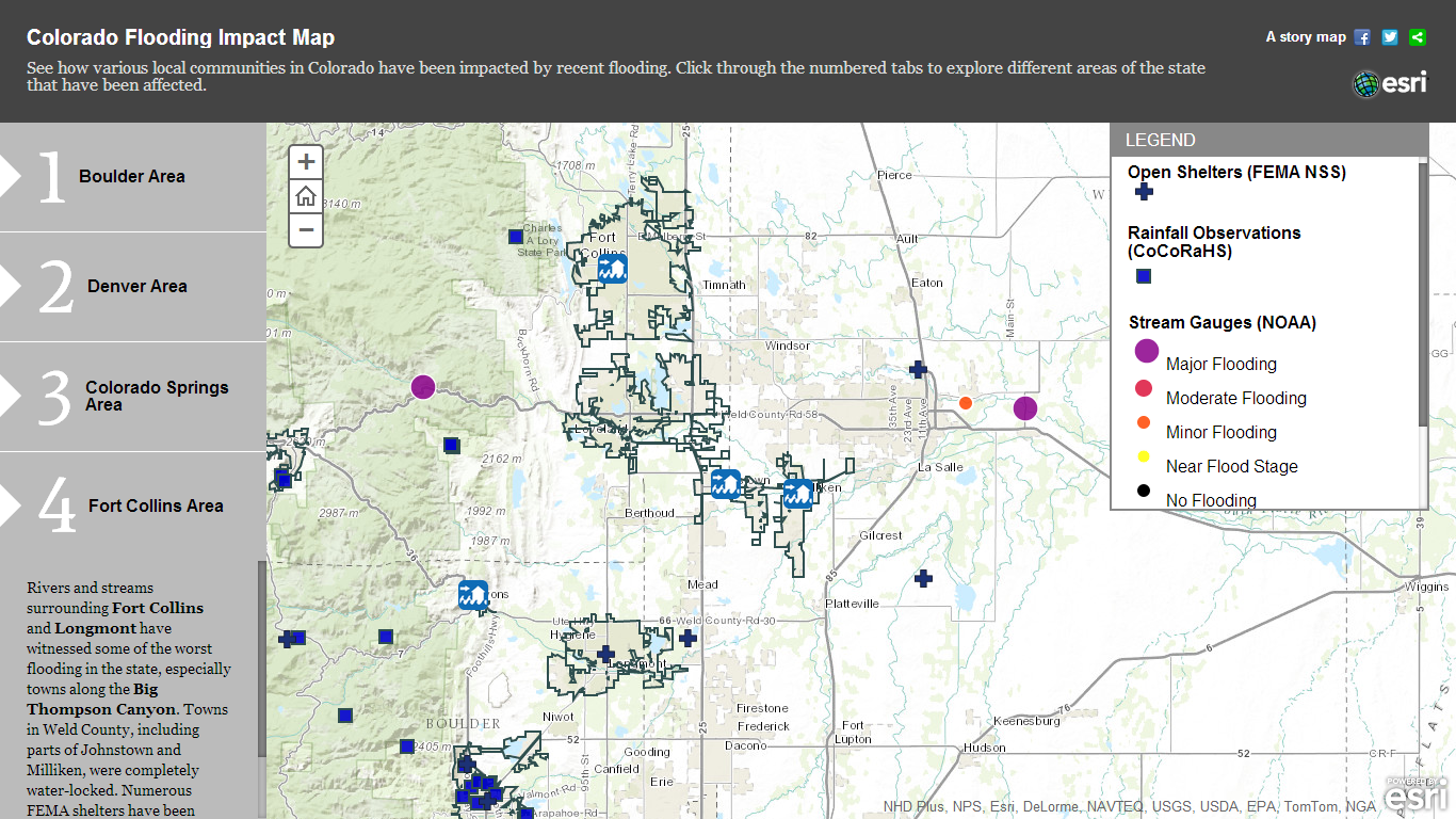
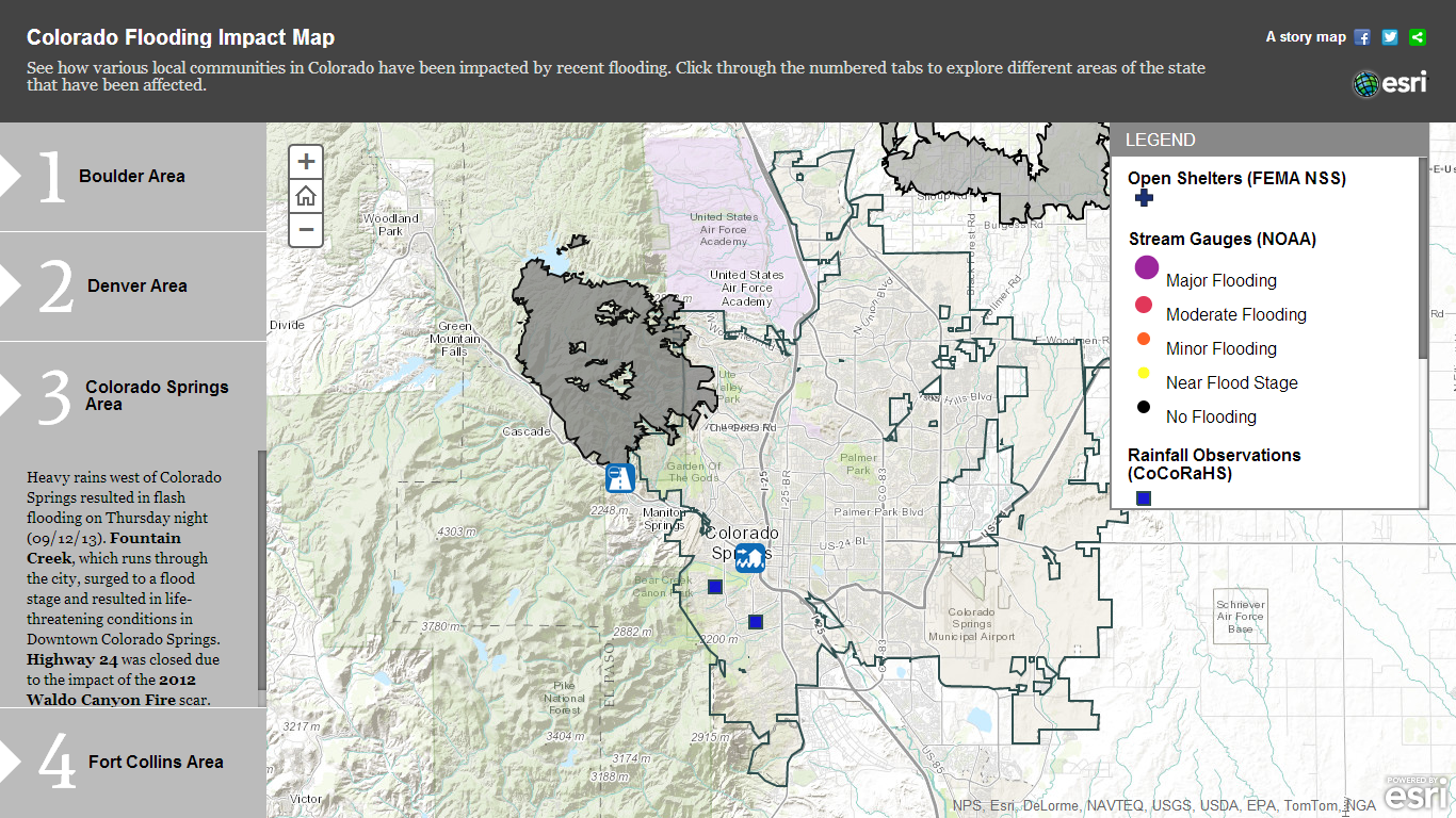
Esri has developed a map to show how various communities in Colorado from Boulder to Colorado Springs have been affected by the recent flooding, which has claimed seven lives and uprooted thousands more. Accessible here, the interactive map includes information about water disruptions and FEMA shelters, along with a link to the top 50 citizen observations by location.
In addition, a public information map incorporates flooding information—such as locations and warning areas, statistics and current precipitation—continuously updated by the National Weather Service (NWS) for all U.S. states.
View related slideshow: Deadly Colorado Flooding Continues To Devastate
© Arc, All Rights Reserved. Request academic re-use from www.copyright.com. All other uses, submit a request to TMSalesOperations@arc-network.com. For more information visit Asset & Logo Licensing.